
West St. Paul Previous Residents by Era
The backward trail starts with the source that can actually reach the period in question. Dakota County's current parcel record links today's address to a PID and legal description. The online RecordEASE abstract computer index reaches back to July 8, 1993. Earlier address leads often come from street indexes, telephone directories, tax lists, or census schedules. The sources overlap, but they describe different facts: land interest, a listed household or subscriber, taxable property, or an enumerated household. Keep the date and record type alongside each name.
| Historical source | Era it reaches | Custodian or route | What it can show |
|---|---|---|---|
| Property Information | Current portal | Dakota County address or PID search | Current parcel, map, aerial, property panel, and legal description |
| RecordEASE abstract computer index | Back to July 8, 1993 | Dakota County Property Taxation & Records, account login | Recorded instruments by legal description, grantor, grantee, or document type |
| SPPL street-index method | 1929-forward directory convention | Saint Paul Public Library house-history and directory holdings | Street then number leads to a listed household or subscriber when a relevant volume exists |
| Dakota telephone directories | 1928 onward collection | MNHS Dakota County telephone-directory finding aid | City, year, and shelf-specific telephone-directory leads, including West Saint Paul |
| Federal census schedules | Released schedules through 1950 | National Archives and library research routes | Enumerated households, subject to the census date and boundary |
| Dakota tax lists | Selected West St. Paul years from 1890 through 1941 | FamilySearch catalog and archival images | Taxable name, property or jurisdiction context, not occupancy by itself |
For a modern transfer, start with the parcel and RecordEASE. For a much earlier household question, start with the dated street index or telephone finding aid, then work toward deeds, tax material, newspapers, and census evidence. A gap between years is a finding, not a reason to guess a household.
Start West St. Paul With a Parcel
Dakota County Property Information is the practical first stop when the current address is known. It searches an address or PID and, according to the county guide, works best when the building number is entered first and the suggested address is selected. A successful result highlights the parcel and provides property information, an aerial view, and legal-description information. Save the PID, situs address, legal description, map date, and the date of the search before moving backward.
A situs address is the physical parcel address. A mailing address can be a different address for tax correspondence. The legal description identifies the land in recorded documents and often survives better than an address when historical searching becomes difficult. The current public map does not expose a robust owner-name search, so a name-to-parcel question may need the recorded-index route, a county request, tax records, or another documented source.
Note: A property-map display is informational and is not a legally recorded survey, so use the appropriate plat and recorded description for a boundary or lot-dimension question.
Compare West St. Paul Previous Residents Records
Property Information and RecordEASE should be used together, not treated as substitutes. The county GIS is free and keyed to an address or PID. Dakota County's RecordEASE access page describes a fee-based, login-gated recorded-document service that searches legal description, grantor, grantee, and document type. It also describes TIFF image viewing and PDF or paper printing. The login-gated form itself was not available for unauthenticated inspection, so no unverified field layout should be inferred from the public page.
That comparison is important for a past-residents search. GIS identifies the parcel presently associated with the address. A recorded index identifies a party and a legal instrument associated with the parcel. Neither one confirms a whole household. The date, instrument type, legal description, and separate household evidence need to be read together.
The county RecordEASE access information sets out the supported search modes, account choices, charges, and online-index scope before a researcher decides whether the login route fits the date being investigated.
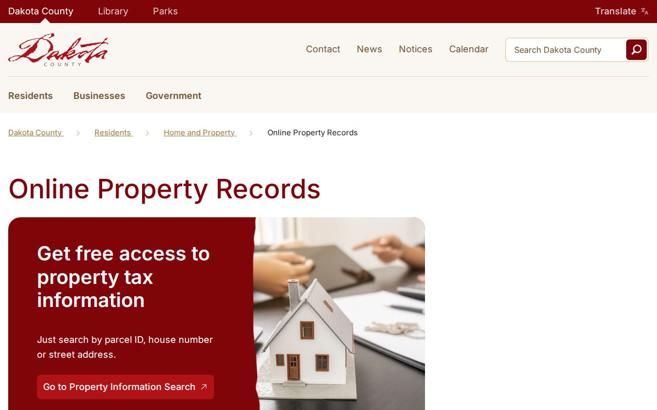
The image supports the access comparison, while the parcel, instrument, and household records remain separate evidence types.
Trace West St. Paul Deed History
A chain of title is the sequence of recorded transfers or other legal interests connected to the same property. Work backward from a current parcel result through the recorded index, using the legal description as the stable key. The online abstract computer index reaches back to July 8, 1993. The county says abstract and Torrens documents within its book, page, and document ranges are digitized, but the exact online path still depends on the instrument and account access.
The RecordEASE login route is the entry point for account-based recorded-document searching; the public county page describes the search modes because the live form remains behind login.
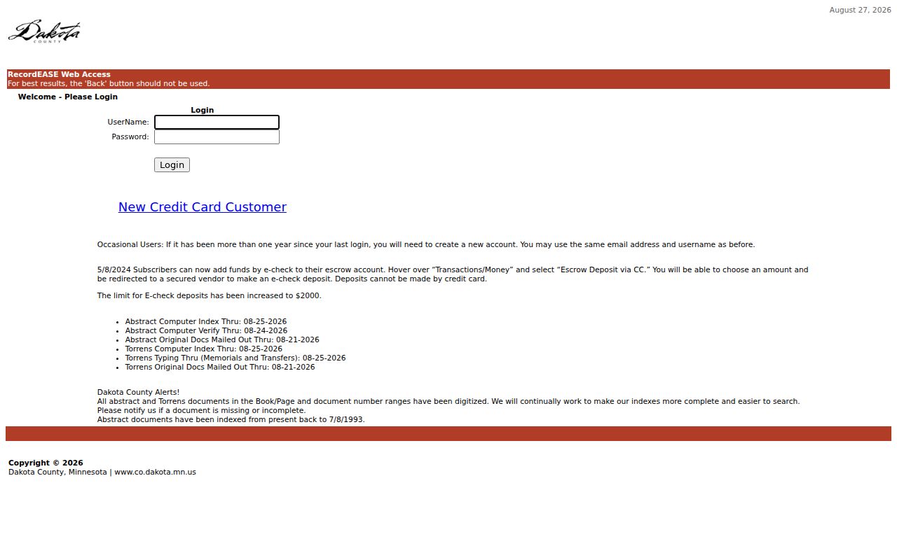
Login access can reveal an indexed instrument, but the later household conclusion still needs a dated, independent source.
- Find the current parcel in Dakota County Property Information and save its PID and legal description.
- Open the Dakota County RecordEASE login and search the available recorded-document modes using the legal description, grantor, grantee, or document type.
- Identify the instrument that transferred a legal interest to the later party, then record its date, document type, parties, and legal description.
- Search the earlier party as a grantee or use the legal description to locate the preceding recorded instrument. Repeat while the chain remains within the documented online scope.
- When an online result is unavailable, use the county's copy, service-center, mail, or archival route rather than inventing a missing link.
- Grantor
- The party conveying or giving a recorded legal interest in an instrument.
- Grantee
- The party receiving the recorded legal interest. A grantee is not automatically an occupant.
- Chain of title
- A documented sequence of recorded land interests connected through the same parcel or legal description.
- Legal description
- The land description used in recorded documents. It is often more dependable than a street address for older deed work.
Use West St. Paul Deed Fallbacks
The county's occasional RecordEASE access is listed at $5 per session, $1 per search, and $2 per document. A subscriber account is listed at $30 per month, with lower charges for searches, documents, certificates of title, and tract cards. A New Credit Card Customer route is available, and the county notes that an occasional account may need renewal after more than a year without a login. Subscriber forms require an original ink signature mailed to Dakota County Property Taxation & Records in Hastings.
Dakota County's purchase-documents instructions offer a second channel. They say a deed copy can be provided free, list in-person service at the Hastings Administration Center, Northern Service Center in West St. Paul, and Western Service Center in Apple Valley, and accept written mail requests to Hastings, Attn. Research, with cash or check. The county asks users to allow a 24-hour turnaround for mailed requests. Other copies are listed at $1 per page and certified copies at $10.
The county also warns about solicitations that charge much more for a deed copy. A county copy request or a custodian-issued certified copy is the dependable fallback when the online index does not reach the needed date or when the account route is not suitable.
Read the 1929 West St. Paul Street Index
The SPPL house-history guide directs former-address research to city directories and specifies a street-name-then-number convention beginning in 1929. After locating a possible listing in the street index, check the alphabetical entry for the listed name, address, occupation or business type, and later symbols or telephone information. A homeowner dot or spouse convention reflects that directory's editorial practice. It is not a title document and does not establish who stayed at the address between publication dates.
The 1929 convention is a useful local quirk because directory meaning changes across the collection. The SPPL chronology notes house numbers by 1885, the homeowner dot and street index in 1929, all adults in 1933, a telephone-subscriber bell in 1940, and later telephone-number structures. The South St. Paul street directory was dropped in 1948, and later suburban volumes have their own coverage questions. For the underlying shelves and formats, use the West St. Paul city-directory collections rather than assuming a general St. Paul volume includes every local address.
The MNHS Dakota County telephone-directory finding aid offers a more targeted route. It includes West Saint Paul volumes from 1928 forward, with 1,237 volumes and 226 microfiche recorded in the collection. Confirm the city, year, and shelf before asking for a scan or a visit.
Pair West St. Paul Directories and Census
A directory and a census answer related but different questions. A directory is a dated listing of a household, subscriber, person, or business under that publication's rules. Census schedules place enumerated people in a particular census year. The National Archives describes a 72-year restriction on individual schedules. At the time of the research, 1950 was the latest released population census and the ordinary release date for 1960 schedules is 2032. Check the municipal boundary and enumeration context before treating a nearby label as the same place.
- Choose a directory volume near the target date and note whether the hit came from the alphabetic section or street index.
- Save the volume title, year, page or image, address form, and every symbol that appears with the entry.
- Find the nearest released census schedule and compare the household, age pattern, and address context without assuming an exact street match.
- Test any conflict against a deed date, permit record, tax list, newspaper notice, or obituary before adding it to a timeline.
SPPL's digital St. Paul directory collection covers 1856 through 1922, and later holdings include microfilm and print with suburban runs that vary. MNHS also offers a paid city-directory search for one individual or business in up to five years of one city. Its stated price is $20, including a $5 nonrefundable processing fee, with email scans commonly taking 3 to 4 weeks and sometimes up to 12 weeks. Holdings are incomplete by locality and year.
Follow West St. Paul Permit Trails
The West St. Paul property-history request form is the documented route for existing permit or property information by address. Specify the address, date range, permit or inspection type, and requested format. The form does not state a fee or standard turnaround, and no public searchable permit-history database was found. A permit can support a building timeline but should not be confused with an occupancy record.
Newspapers and local historical sources can test a date or identity when the recorded chain or directory leaves a gap. Saint Paul Public Library's newspaper guide lists Pioneer Press access through the Minnesota Historical Society Digital Newspaper Hub for 1861 through 1961, microfilm for 1849 through 2019, and other relevant newspaper runs. Dakota County Historical Society offers cemetery, church, census, World War I, obituary, marriage-announcement, and research-help routes. A cemetery result identifies a burial record, not occupancy at a West St. Paul address.
The SPPL house-history guide gathers the address-research path that combines directories, building permits, photographs, historical surveys, and newspaper sources without treating any single collection as complete.
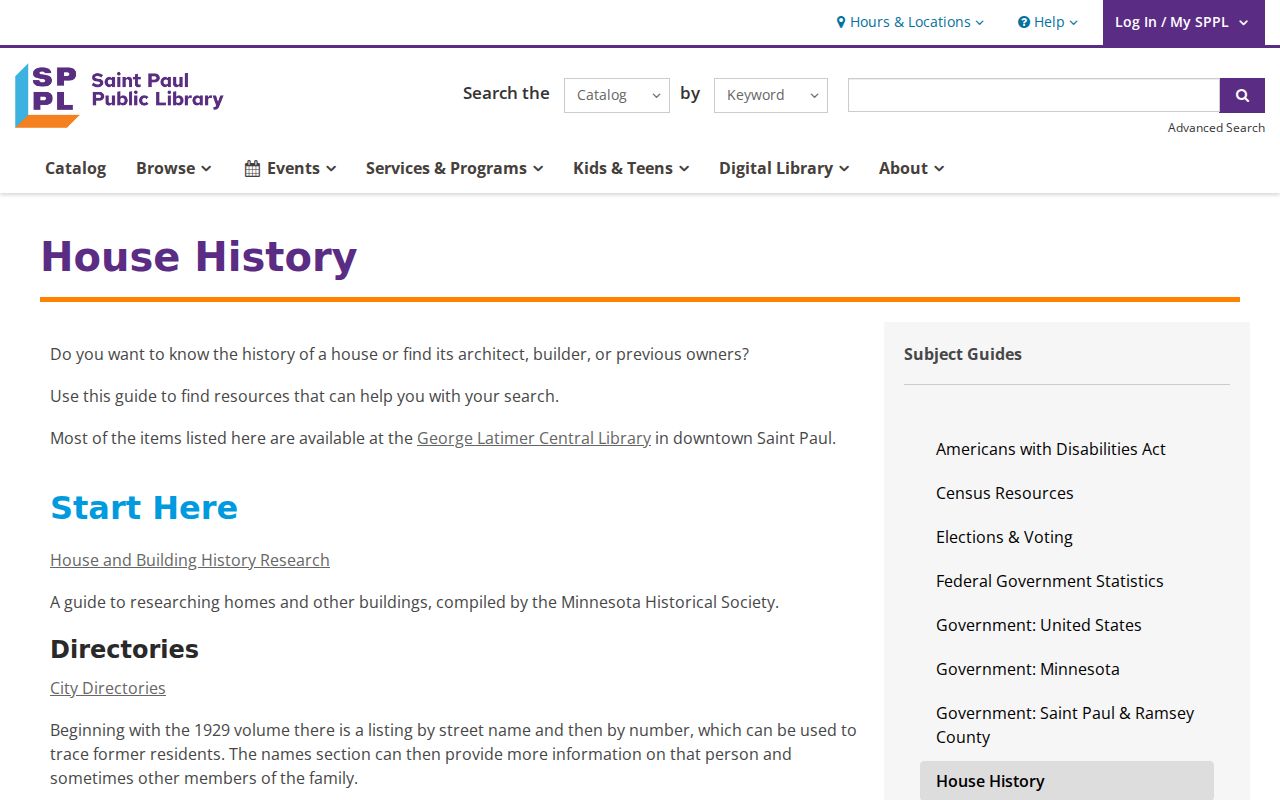
Use those supporting records to corroborate a date or address connection, then cite the exact collection, volume, image, and access restriction.
Test West St. Paul Previous Residents Evidence
Past-residents research is strongest when each entry is labeled by its source. A deed reports a recorded legal interest. A tax list can report a taxable name, legal description, assessed property, or jurisdiction in a given year. A directory can report a printed listing. A census can report an enumerated household. An obituary, cemetery record, or probate file may provide endpoint or family context. None should be expanded into a continuous occupancy claim without support from another dated source.
FamilySearch's Dakota County tax catalog specifically lists West St. Paul tax lists for 1890 through 1901, 1911, 1920 through 1921, 1930 through 1931, and 1940 through 1941. Images can require a FamilySearch login, affiliate library, or FamilySearch Center. The catalog is a research map, so confirm the image sequence and page before citing a person. No official West St. Paul-specific Sanborn sheet list was located. Fire-insurance-map availability for a particular block must be verified through the map catalog or library staff, not assumed from St. Paul coverage.
Note: Cite the collection, volume or reel, page or image, date, search fields, spelling variants, and access restriction so another researcher can check the same record.
Respect West St. Paul Previous Residents Limits
There is no single complete list of who lived at a West St. Paul address. Directories may omit minors, transient people, people not independently listed, and addresses outside a volume's coverage. A deed recipient is not proof of occupancy. Historical gaps should remain visible, especially where the official sources did not verify a complete West St. Paul directory run, a local street-renumbering event, or a West St. Paul-specific fire-insurance sheet list.
Lawful use. Use historical address records for family history, estate questions, property history, and personal curiosity. Do not use modern addresses or protected data to track, stalk, harass, intimidate, or harm a living person.
Minnesota Government Data Practices Act rules in Minn. Stat. ch. 13 do not override classified private, confidential, sealed, expunged, or protected information. Safe at Home and other safety protections matter even when an address appears in an old record. For an uncertain record, ask the custodian about its access classification instead of seeking a workaround.