
West St. Paul Neighbor Parcel Sources
For West St. Paul neighbors, begin with the source that matches the question. The free county property interface is an address or Parcel ID tool. It can center a parcel and show mapped property information, but it does not expose a robust public owner-name search. Dakota County’s online maps add layers and printable property-card options. A recorded instrument can document a legal interest through a separate, fee-based index or a county copy route. Neither a parcel nor a recorded document proves who occupies an address.
| Source | What It Shows About a Block | Access |
|---|---|---|
| Dakota County Property Information | Subject parcel, bordering parcel geometry, address or Parcel ID, highlighted map result, and property panel | Free address or Parcel ID search; no public owner-name search is exposed. |
| Dakota County Online Property Maps | Parcel, aerial, contour, trail, park, floodplain, and other mapped layers | Free maps and Interactive GIS; informational maps are not surveys. |
| Dakota County Property Taxation & Records | Recorded legal-interest trail by grantor, grantee, legal description, or document type | RecordEASE login and fees, or a county copy request. |
| West St. Paul maps | City, ward, facilities, and related official geography | Free city map links; ward and neighborhood are not the same boundary. |
| Neighborhood Watch | Citywide safety participation and civic contact information | Free and open to everyone; it is not a membership roster. |
The county’s Property Watch guide advises entering the building number first and choosing the offered address from the dropdown. That small step avoids an address-search miss. Save the subject parcel’s address, Parcel ID when displayed, legal-description information, map date, and source date. Those details can be checked later without turning a block search into an unsupported claim about neighbors.
Define West St. Paul Neighbors as Parcels
For record research, a neighbor is a parcel relationship. A bordering parcel shares a boundary with the subject parcel on the county map. It is not a statement about friendship, household membership, or occupancy. A nearby address may be close on the ground but not share a parcel line. A multi-unit property can also contain several households within one mapped parcel. Keeping that definition narrow makes the result reproducible.
Use parcel data to answer a parcel question: which lots touch the subject parcel, what address or Parcel ID is shown, and when was the map viewed? Use another source only when it has a distinct record purpose. A deed grantee is evidence of a recorded legal interest. A mailing address, where lawfully available, can identify tax correspondence. Neither replaces a direct, current confirmation of who is present at an address. This distinction also keeps a West St. Paul neighbors search from overstating a map result.
Map West St. Paul Neighbor Parcels
The documented adjacent-parcel method uses the county’s map controls one parcel at a time. Dakota County did not document a button that produces an automatic neighbor list. Start with the known address or Parcel ID, select the suggested result, and work outward through the visible map. Use the highlight and property-information panel to keep the subject parcel separate from each bordering one.
- Open Dakota County Property Information and enter the street address or Parcel ID. For an address, enter the building number first and select the suggested address.
- Confirm that the map centers and highlights the subject parcel. Save the displayed address, Parcel ID, legal-description information, map date, and search date.
- Pan or zoom to each parcel that borders the highlighted parcel. Use identify or property-information controls separately for each parcel, recording only the parcel relationship and address needed for the question.
- Use map scale or measure controls for a distance question. If a recorded legal-interest detail is needed, use the legal description with RecordEASE or request a copy from Dakota County Property Taxation & Records.
This flow is address to subject parcel to bordering parcels to a separate recorded-document check when needed. It avoids treating a free map as a person-name search. For an entire named street rather than the immediate block, the West St. Paul streets directory uses the longer address-record chain.
Note: A property map shows a spatial relationship, not a survey or proof that a mapped parcel establishes a current household.
West St. Paul Neighbor Map Limits
Dakota County describes approximately 150 Interactive GIS layers, including parcels, contours, aerial imagery, parks, trails, bikeways, road construction, roundabouts, and floodplains. Layers add context, but they do not convert a parcel map into a list of West St. Paul neighbors. The county’s map catalog supports searching by city, section, grid, address, or PIN, and a published property-map example warns that it is not a legally recorded map or survey. Compare a needed lot dimension with a plat or recorded source instead.
| Official record route | Unlinked commercial category |
|---|---|
| County map and recorded-document sources identify their custodian, search key, access date, and record limits. | Compiled neighbor-lookup reports can combine public filings with marketing or licensed data, with uncertain update timing and identity matching. |
| A map result can be checked against a Parcel ID, legal description, map date, or a custodian copy route. | A compiled result may be stale, merge similar names, or omit source context. An opt-out does not alter the underlying government record. |
No official Dakota GIS page located during research documents an automatic fixed-radius, buffer, or nearest-neighbors list. Use pan, zoom, identify, and measure as the reproducible method. A map scale can describe distance; it does not establish a social connection or a current resident list.
West St. Paul Neighbor Geography
West St. Paul’s official maps are the right starting point for city and ward geography, while Dakota County GIS supplies parcel context. A ward is an electoral boundary. A neighborhood can be a planning, historical, or community label. They are not interchangeable, and no current official city directory of neighborhood-association boundaries and officers was located in the sources searched. Use the map that matches the purpose rather than attaching an informal name to a parcel.
The city and ward map controls appear in this West St. Paul maps capture.
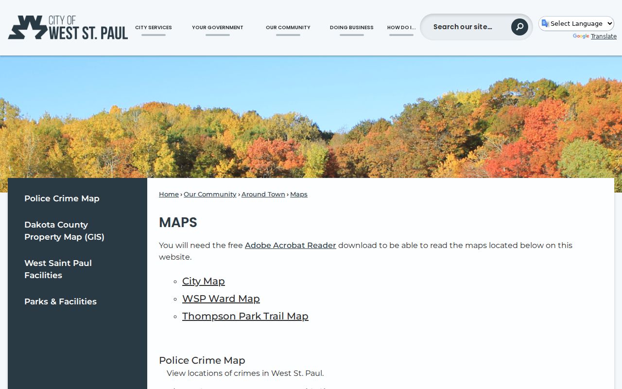
The map layer helps distinguish municipal or ward context from the county’s parcel lines, which is essential when a block lies near a boundary.
Postal geography is another separate field. Official city pages commonly use 55118, while USPS can label a 55118 address as Saint Paul. That label mismatch is a useful check, not proof that every 55118 address lies within the incorporated city. Confirm jurisdiction with the city boundary and county parcel GIS, and search West St. Paul, West Saint Paul, and Saint Paul 55118 only as appropriate record-label variants.
West St. Paul Neighborhood Watch Is Citywide
West St. Paul Neighborhood Watch is the documented civic option for people who want safety information and local participation. The city describes it as free and open to everyone, with coverage of 911, security, and local trends. Nicole Murphy is the listed contact. The program is citywide, not a roster of nearby households and not a boundary-defined association. No official association directory was located, so no association boundaries, officers, or member lists should be inferred.
The citywide program is shown in this Neighborhood Watch capture.
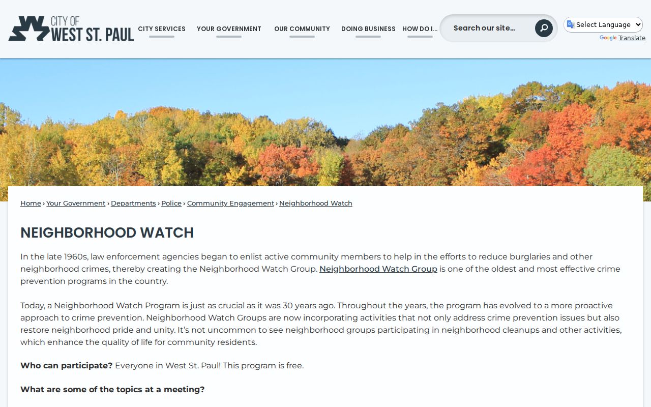
The civic resource gives a way to participate without suggesting that its participants form a public neighbor directory.
The city also lists Charter Commission, Planning Commission, Parks & Recreation Advisory Committee, and Environmental Committee through its boards and commissions information. Those are civic-participation resources, not household lists. The Smith Avenue and Dodd Road revitalization plan is a further geography caution: its corridor reaches from West St. Paul toward St. Paul, so a corridor can cross municipal lines rather than define one neighborhood.
West St. Paul Neighbor Record Dates
A useful block note records the subject address, Parcel ID or legal-description detail, bordering parcel addresses, map date, source date, and the limitation of each source. For a recorded document, add document type, recording date, grantor or grantee as relevant, and whether the record came from RecordEASE or a county copy. For a city map, preserve the map type and date. These facts make it possible to revisit the same narrow map relationship without adding unsupported personal data.
Updates do not move on one schedule. MNVotes updates nightly but remains an individual confirmation tool. RecordEASE displays indexing dates that vary by record stream, while city forms and map layers can change without a fixed public schedule. Historical directories and collections may be stable snapshots, but can gain digitized material. Check dynamic services at the time of use, and do not assume an old image captures a current rule.
Note: A source date belongs with every map or record note because current map displays and recorded indexes can change independently.
West St. Paul Neighbor Lookup Limits
Minnesota law limits what may be treated as public. The Minnesota Government Data Practices Act, Minn. Stat. ch. 13, controls agency data classifications. Safe at Home protects qualifying participants with a substitute mailing address. Voter safety statements can limit disclosure, and the federal Driver’s Privacy Protection Act restricts motor-vehicle records. The free MNVotes route is not a block download, and the controlled voter-list product has separate statutory certification and use rules. Utility customer information is not a public city lookup.
Lawful use. Use West St. Paul neighbor information only for personal, civic, historical, or property-record research. Do not use a map, record, or civic contact to stalk, harass, intimidate, or harm another person.