
Finding West St. Paul Residents
There is no single official roll of everyone in West St. Paul. Dakota County's Property Information search is the strongest starting point when an address is known. It accepts an address or parcel ID, known as a PID, and the county guide recommends entering the building number first before choosing the suggested address. The resulting map highlights a parcel and shows property information, aerial imagery, and a legal description. That makes it an address tool, not a public owner-name directory.
For a name, first collect a second anchor such as a middle initial, a past address, a family connection, or a date. Then match the record type to the question. A deed names parties to a recorded transfer. A voter result confirms an individual registration match. A city directory ties a person or business to the year it was published. None alone proves a complete household or continuous occupancy.
- Normalize a street address with the USPS lookup, then search Dakota County Property Information by address or PID.
- Save the parcel's legal description and the map date before following any land-record lead.
- Use the Minnesota voter lookup only to confirm an individual registration match, not to produce a neighborhood list.
- Search the county's recorded-document route for a grantor, grantee, legal description, or document type when a land transfer matters.
- For an earlier household, compare dated directories, newspapers, cemetery material, or archival collections and cite each source separately.
Note: An address search is a practical first step, but an owner, deed party, and directory listing describe different kinds of evidence.
West St. Paul Resident Record Desks
West St. Paul is in Dakota County, but the county seat is Hastings. Land records are held by Dakota County Property Taxation & Records, court files are part of Minnesota's district court system, and election administration has its own route. The Northern Service Center in West St. Paul is available for certain vital-record services, while the recorder's recording work is based at the Hastings Administration Center. Treat each office as a custodian of a narrow record class.
Dakota County Property Taxation & Records
1590 Highway 55
Hastings, MN 55033
651-438-4597
Dakota County Property Information
Countywide parcel and tax-property information
Address or PID search
Public online search
Minnesota Elections Lookup
Individual registration confirmation
Statewide route
Online service
The full address-to-parcel method belongs with the West St. Paul street directory. For city records, the clerk, building request form, and police data form are routing channels rather than a citywide resident index.
West St. Paul Property Search Fields
County Property Information is free and deliberately narrow. Its visible search control is labeled “Search Address or Parcel ID.” Address suggestions follow as the user types, and a selected result centers the parcel on the map. The property-information panel, aerial view, and legal-description information help confirm that the correct land record is open. The public map does not expose a robust current owner-name search.
| Field or result | Use | Format or limit |
|---|---|---|
| Search Address or Parcel ID | Find a parcel | Enter an address or PID |
| Address suggestions | Select the matching address | County guide says to begin with the building number |
| Highlighted parcel | Confirm mapped land | Map result, not a survey |
| Property-information panel | Review parcel facts | Check the displayed date and record context |
| Legal description | Carry a land key to recorder research | Useful for RecordEASE and document requests |
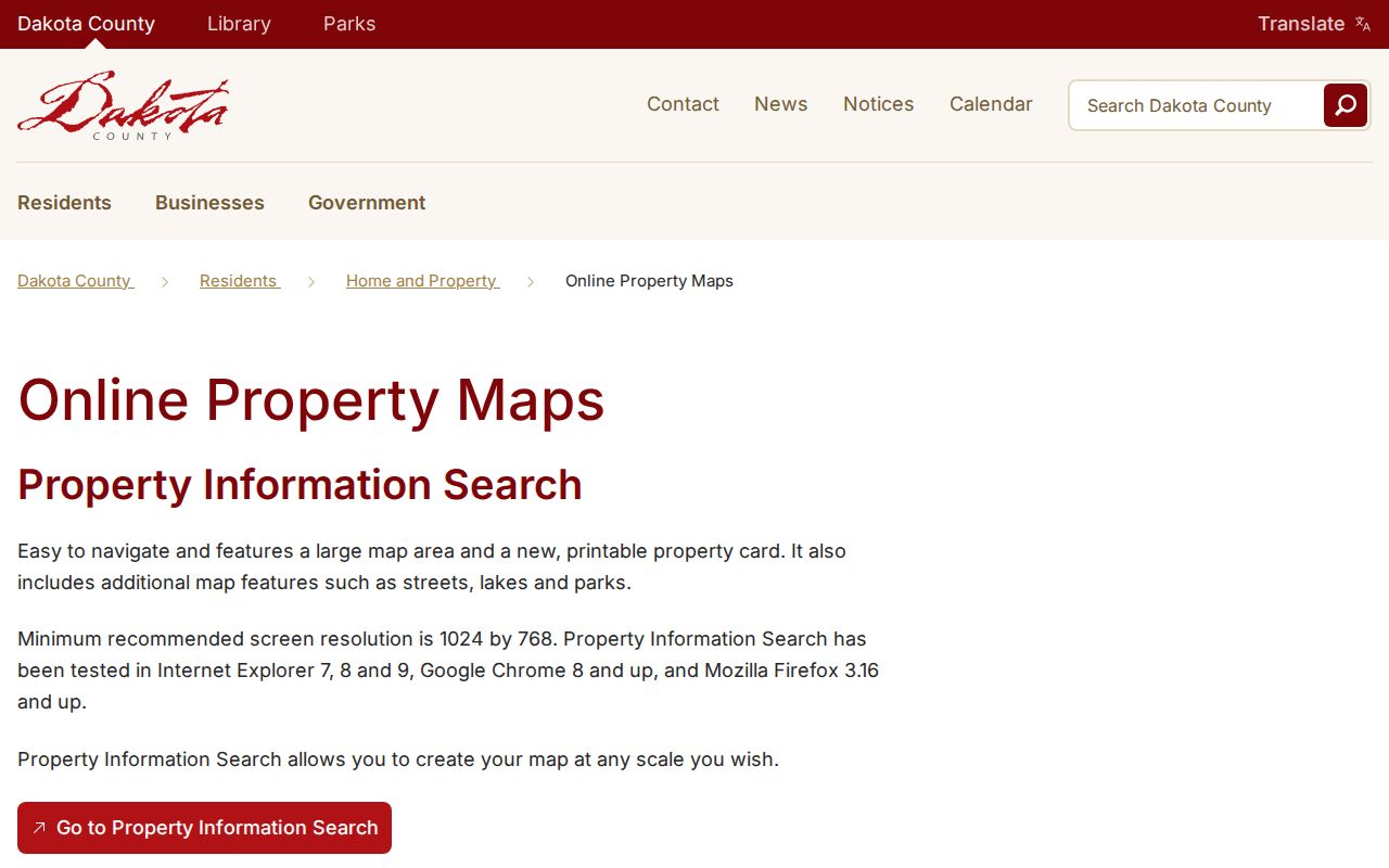
Dakota County's online-property-maps page describes printable property cards and an Interactive GIS Map with about 150 layers, including parcels, imagery, parks, trails, road construction, and floodplains. Those layers answer different questions. A property map is not a legally recorded map or survey.
Note: Keep the PID, legal description, and the date of the map view together when comparing an address across sources.
West St. Paul Records Map
A free parcel map and a fee-based deed index are complementary, not substitutes. RecordEASE is Dakota County's online service for abstract and Torrens records. The county describes search modes for legal description, grantor, grantee, and document type. Its abstract computer index reaches back to July 8, 1993. Older, different, or inaccessible material may require a county copy request, a visit, or a distinct archival collection.
| Route | What it can show | Access | Important limit |
|---|---|---|---|
| Property Information | Parcel, address, map, legal description | Free address/PID search | Not a robust public owner-name search |
| RecordEASE | Recorded instruments and document images | Login and transaction fees | Deed party is not proof of occupancy |
| County copy service | Recorded document copy | Request or visit | Certified copies differ from ordinary copies |
| City property-history form | Existing permit or inspection material | Address-keyed request | No public permit case-search was located |
Occasional RecordEASE users pay $5 for a session, $1 per search, and $2 per document under the county's listed terms. The county also says a deed copy can be provided free, while copies are otherwise listed at $1 per page and certified copies at $10. Use the county document-copy route when a portal result is not enough.
West St. Paul Data Requests
West St. Paul routes general city data, police data, and building or property-history requests through separate forms. A focused request should identify the address or PID, record type, date range, and desired existing format. Minnesota's Government Data Practices Act, Minn. Stat. chapter 13, begins with a presumption of public access but permits withholding of private, confidential, sealed, expunged, or otherwise restricted data. A public entity need not create a new analysis or profile.
The West St. Paul data-request page routes the request types and identifies clerk and police pathways. City Clerk Elke Johnson is listed in the city directory at 651-552-4102. A property-history request uses the city's Building form and asks for an address, date range, and a description of the requested records. Police material has its own classification, identification, release, and pickup rules.
The city property-history request form is an address-keyed information route, not a portal that identifies every occupant or complaint.
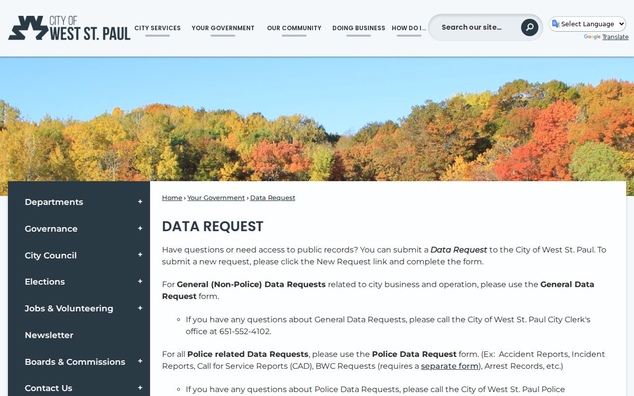
That routing distinction helps a requester name the right custodian and avoid asking one office to decide what another office holds.
Current West St. Paul Resident Sources
Current directory-like sources differ sharply in what they establish. Parcel data ties a situs address and a parcel to county information. The voter lookup is a personal registration confirmation tool. Recorded instruments identify parties to land documents. The municipal staff directory lists city officials and departments, not residents. Minnesota's state public registrant search has location controls, but it is governed by disclosure law and is not a general resident directory.
| Source | What it identifies | Keeper | Access |
|---|---|---|---|
| Parcel/property information | Parcel, situs, map and property fields | Dakota County | Free address/PID search |
| Voter registration confirmation | Individual match and election geography | Minnesota Secretary of State | Individual lookup; lists are controlled |
| Recorded-document index | Grantor, grantee and instruments | Dakota County Property Taxation & Records | RecordEASE or copy request |
| City staff directory | Public civic contacts | West St. Paul | Free online categories |
| Public records request | Existing city data that may be public | City custodian | Chapter 13 request and classification review |
Do not treat any one line as a complete household list. When the question is about one named person, the West St. Paul resident lookup uses separate checks for registration, court context, vital-record leads, and historical sources.
West St. Paul Voter Limits
Minnesota's voter-registration lookup confirms an individual match using name, birth date, and ZIP, county, or address information. The research record notes that it updates nightly. That makes it useful for a person confirming their registration, but it is not a tool for downloading residents by street. Voter-list products are governed by Minn. Stat. § 201.091 and have certification, fee, and permitted-use rules.
Some protected addresses cannot be handled like ordinary public fields. Minnesota Safe at Home offers qualifying participants a substitute address, and other data may be restricted by chapter 13, court confidentiality rules, vital-record law, or federal motor-vehicle-record limits. A missing result can reflect a restricted or wrong system, not a conclusion about a person.
Lawful use. West St. Paul records are for personal, lawful research. Do not use an address, map, court record, or request process to stalk, harass, or harm another person.
West St. Paul Court Record Checks
Minnesota Court Records Online, commonly called MCRO, is the state route for district-court cases, documents, hearings, and judgments. A court name result needs context. Save the case number, court and county, filing date, category, parties as shown, document title, disposition or judgment field, and access date. A similar name or a case category alone does not establish the outcome or identity of a person.
MCRO's public case search offers name, case, citation, and attorney search paths, with filters such as date range, county, category, and status. The courts' name-search guidance recommends variations in middle name, initials, punctuation, wildcard use, and Sounds Like as leads. Remote material is incomplete for some case types, and courthouse terminals may show more permitted local material without overriding restrictions.
The Minnesota court search interface presents separate search routes rather than one general people list. Use a case number with the court administrator when requesting a permitted copy or asking about a locally held file.
Note: A remotely absent case item may be restricted or unavailable online, rather than nonexistent.
West St. Paul Vital Record Paths
Birth, death, marriage, and divorce material do not have one shared custodian. The Minnesota Department of Health coordinates birth and death records, Dakota County service centers issue certain local products and marriage licenses, and a divorce decree belongs with the district court that granted it. Minn. Stat. § 144.225 sets important vital-record disclosure rules. Certified copies have eligibility conditions, while a public birth may have a noncertified route and a noncertified informational death record is public.
Start with the Minnesota Department of Health vital-records service to identify the requested record type and product. For local service availability, check Dakota County's service-center information. An index can be a research lead; it is not a certified document. Historical research can then move to MNHS People Records, directories, newspapers, or cemetery material where the collection fits the date.
Earlier West St. Paul Resident Directories
Historical work needs its own shelf. Saint Paul Public Library's digitized city directories cover 1856 through 1922, and later material can be available in microfilm or print at Central Library. Those volumes should not be presented as a complete West St. Paul run. A more direct local lead is the Minnesota Historical Society Dakota County telephone-directory finding aid, which begins in 1928, includes West Saint Paul telephone directories, and describes 1,237 volumes and 226 microfiche.
Directory entries may give an alphabetical resident or business name, street address, occupation or business type, and later telephone information or symbols. A street index, a householder index, or a criss-cross directory reverses the usual approach by arranging listings around addresses. Use the city-and-year shelf detail to confirm coverage before assuming a volume contains a particular street.
- Parcel
- A mapped unit of land with a county identifier and legal description.
- Index
- A finding tool that points to a record or image; it is not always the full record.
- Criss-cross directory
- A reverse directory arranged by address instead of only by name.
- Situs address
- The property's physical location, which can differ from a mailing address.
The West St. Paul city directory is the dedicated route for how entries, year gaps, telephone volumes, newspapers, and archival requests fit a household timeline.
West St. Paul Postal Identity
ZIP 55118 is commonly used for West St. Paul city addresses, but USPS can label the same service area “Saint Paul.” The official West Saint Paul Post Office listing uses a Saint Paul postal address. A postal city field is therefore not a municipal-boundary decision. Confirm a location with the city boundary and Dakota County parcel GIS when jurisdiction matters, and search both West St. Paul and West Saint Paul in historical tools.
The county property map, city maps, and the legal description each supply a different geographic layer. That distinction matters in the Smith Avenue and Dodd Road corridor, which carries cross-city context. Postal labels, wards, neighborhoods, and parcels should never be collapsed into one record field.
West St. Paul Record History
The name West St. Paul has a layered local history. The official city history places permanent settlement in 1848 and platting in 1855. An earlier City of West St. Paul incorporated in 1858 and ended in 1862. The present city was incorporated in 1889 after later township and annexation changes, adopted a charter in 1907, and amended it in 1962 for a city-manager form. A historical record using the name needs its date and government context checked.
West St. Paul's official history provides the city chronology used to distinguish those municipal eras.
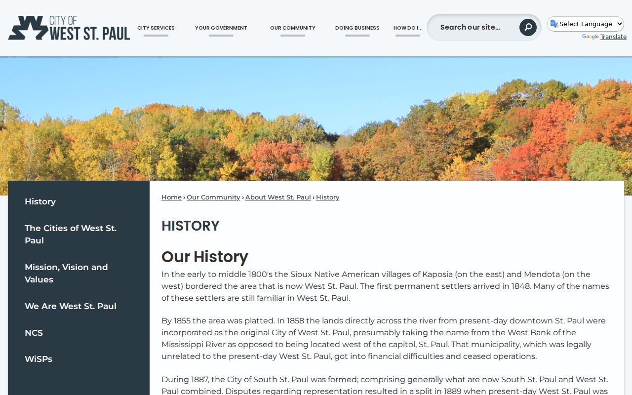
The timeline explains why a library entry, deed, or map should be paired with a year and legal geography rather than read through a modern postal label.
West St. Paul Record Currency
Online records do not share one update clock. MNVotes updates nightly, library hours and database access may change, city forms may be revised, and RecordEASE shows its own current indexing dates. Dakota County's library advisory minutes recorded a Wentworth renovation period from April 2025 into April 2026, so current service details should be checked with the live library page rather than inferred from an older notice.
West St. Paul's municipal directory is a useful civic-contact route, not proof that a general resident database exists.
Checking a source's displayed date and purpose prevents a current screen, an archived sample, and a historical volume from being treated as equal evidence.
West St. Paul Deed Records
A deed is a recorded instrument, not a move-in record. Its grantor and grantee identify parties to a legal interest, and its date shows recording context. Follow an address through the parcel map, legal description, recorder index, and a requested copy before using it in a historical timeline. Label a tax-list name, a parcel owner, a deed party, and a directory entry for what each actually says.
Dakota County's recording page explains the Abstract and Torrens systems and directs recordings to Hastings.
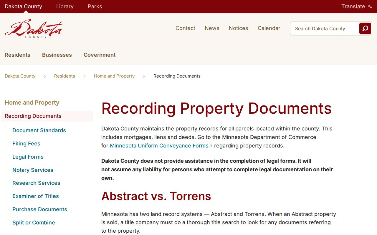
That separation is especially useful for estate and family-history work, where a transfer can be part of a trail without establishing who occupied the home.
West St. Paul Research Sources
Libraries and historical organizations fill the gaps between modern portals. Dakota County Library lists genealogy, newspaper, Minnesota Reflections, and licensed research tools, some of which require library access. Dakota County Historical Society has more than half a million church, cemetery, and census records, with research help for obituaries, marriage announcements, and Catholic church material. Its cemetery database can be a useful date-and-place lead, but a burial record is not proof of residence.
Dakota County Library's research categories show the local-history and genealogy routes available through the library system.
When a digital index is thin, ask for a bounded year, street, name variant, collection, or record type rather than a broad personal profile.